-40%
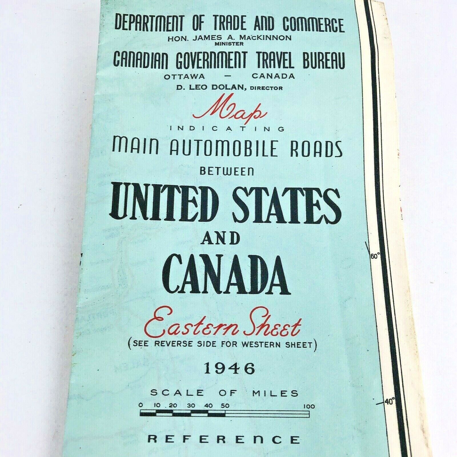
Vintage Map 1940s Main Automobile Roads Between United States And Canada MI705
$ 5.27
- Description
- Size Guide
Description
Vintage Map 1940s Main Automobile Roads Between United States And Canada 1946.See photos.
Folded 1946 map of main automobile routes between United States and Canada
Also indicates ferries, steamship lines, and international boundaries
One side is the Eastern Sheet, the reverse side is the Western Sheet.
Measures approximately 37 1/2" x 20 1/2"
Some bends to it. Over 70 years old
Thanks for looking!
Inv: MI705-35-2
